At about 2.9 miles from the trailhead the canyon turns west and an open
passage to a canyon heading east into Panamint Valley is reached. Drop into
the canyon heading east and follow it as it turns northeast all the way down to Panamint Valley.
Stay to the north as you near the mouth of this canyon.
Eventually you will find a dirt road which heads north a
little ways before turning west. Follow this dirt road and then the wash
back to the mouth of Shepherd Canyon.
Less than a half mile below the trailhead another road drops into the wash from
the north. Exit the wash to the north at this point and continue west to the
trailhead.
Suggested Variations:
1. The suggested trailhead is a convenient location to begin this hike from.
However, it is possible to drive into the wash and start the hike close to
the fin-shaped rocks. Also it is possible to start the hike anywhere along
the dirt road back toward the mouth of the unnamed canyon that drops into
Panamint Valley.
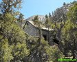
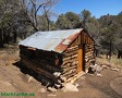
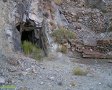
2. Seventh Heaven Mine Camp - A short distance to the north of the
fin-shaped rocks is an old mine camp. There are old trailers, fences,
remains of structures, diggings, springs, and palm trees at this location.
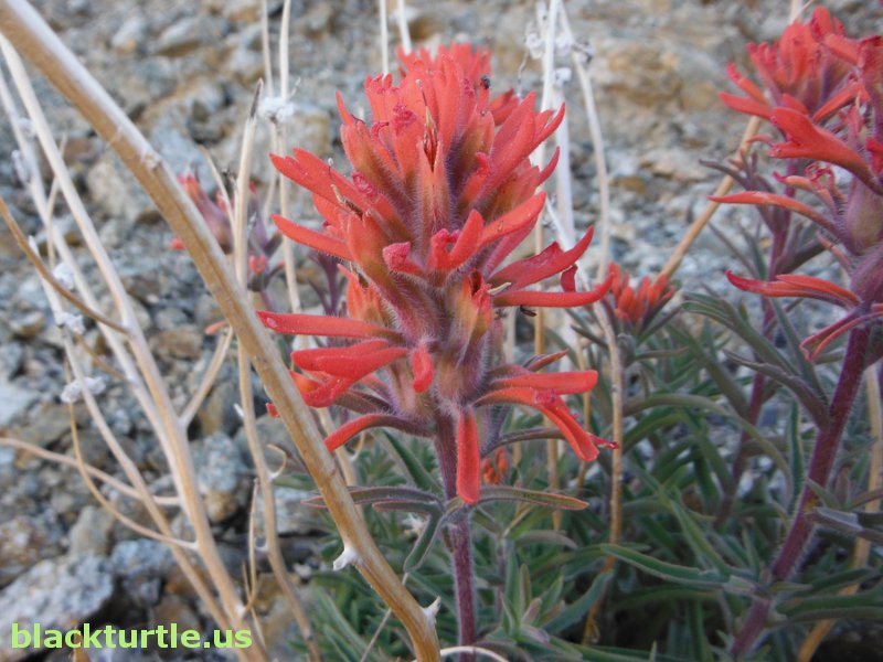
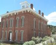
3. Nile Spring - A little over a half mile up Shepherd Canyon from the
mouth of the side canyon is Nile Spring. Near the spring are the remains of
three old stone structures.
4. Donkey Trail - A very good donkey trail heads off to the north at about
three-quarters of a mile up the side canyon. Although I didn't follow it to
its end, my hunch is that it drops down to Nile Spring.
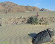
5. Open Passage - This location is somewhat of a confluence between a number
of interesting areas. Just over a small hill is the road that leads to Water
Canyon. Also the top of the canyon heading down into Panamint Valley is
found here.
|
6. Seep Area - A highly vegetated area is found less than a half mile from
the Open Passage. There is no actual spring, but enough moisture to support
increased vegetation apparently exists. The road to Water Canyon passes
through this area. BTW, the road also heads west from here for over a mile.
7. Ship Rock - A large rock that looks a little bit like a large ship is
found a little over half way down the unnamed canyon.
8. Onyx Mine - On the way to the trailhead it might be fun to stop and
explore the area around the Onyx Mine.

Click map to enlarge in new window!
|