The main sites of interest in this area are:
|
The Gold Bottom Mine is located in the lower part of Gold Bottom Canyon. The
Gold Bottom Dunes are located just to the north of the mine.
Copper Queen Canyon is the next major canyon south of Gold Bottom Canyon. In
fact, the top of Gold Bottom ends when it hits Copper Queen Canyon (while
Copper Queen Canyon continues all the way to the top of the Slate
ridgeline). A small portion of Copper Queen Canyon is actually within
military reservation boundaries, but it is just a small corner and it is not
clearly marked.
(continued) |
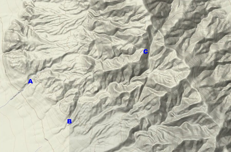 Gold Bottom Canyon is located in the Slate Range on the east side of Searles
Valley at an elevation of about 2500 feet about six miles northeast of
Trona.
A large mine known as the Gold Bottom Mine is located in the lower
portion of the canyon. The mine operated from 1880 to 1937.
There are also some sand dunes located nearby.
Gold Bottom Canyon is located in the Slate Range on the east side of Searles
Valley at an elevation of about 2500 feet about six miles northeast of
Trona.
A large mine known as the Gold Bottom Mine is located in the lower
portion of the canyon. The mine operated from 1880 to 1937.
There are also some sand dunes located nearby.
White Spot
Sitting up on the mountain just to the north of Gold Bottom Canyon is this
big white spot. Large calcium deposits like this can be found throughout the
Slate Range. This one is visible from across the valley in the town of
Trona. Several pictures show many views from different distances and angles
of the white spot including two pictures of cacti growing at the top of this
rock.
Seeps and Trail
There is a fair amount of moisture in Gold Bottom Canyon. These pictures
show seeps. Also remnants of an old trail are shown in one of these
pictures. These pictures were taken in the upper portion of Gold Bottom
Canyon. There are also a couple seeps in Copper Queen Canyon. The miner's
lettuce pictures were taken near one of these seeps.
Caliente
Back in February of 2005 I found a small rusted tin
containing an old mine claim
document. After teasing the paper apart and
laying it out the following information was revealed:
- Claim filed by D. W. Whipple, Henry Schoffinch Jr., and H. T. McCollough (the spelling may be off as the writing was difficult to read)
- The name of the claim: Caliente
- Date filed: April 13, 1926
Gold Bottom Mine Site
These pictures show a few views of the Gold Bottom Mine Site. The site is
actually quite extensive. The tunnels within the mine are also quite
extensive. A road winds through the mine area and then
leads to the east toward the Slate Range. Just up the canyon from the
mine site is the narrows section of Gold Bottom Canyon.
The Gold Bottom mine was also sometimes called the Copper Queen or the Slate Range mine. The elevation of the mine site is about 2500 feet. The mine primarily produced lead and silver.
This canyon should not be confused with the Copper Queen Canyon which is the next canyon to the south. There are ruins of a mining operation at the mouth of Copper Queen Canyon.