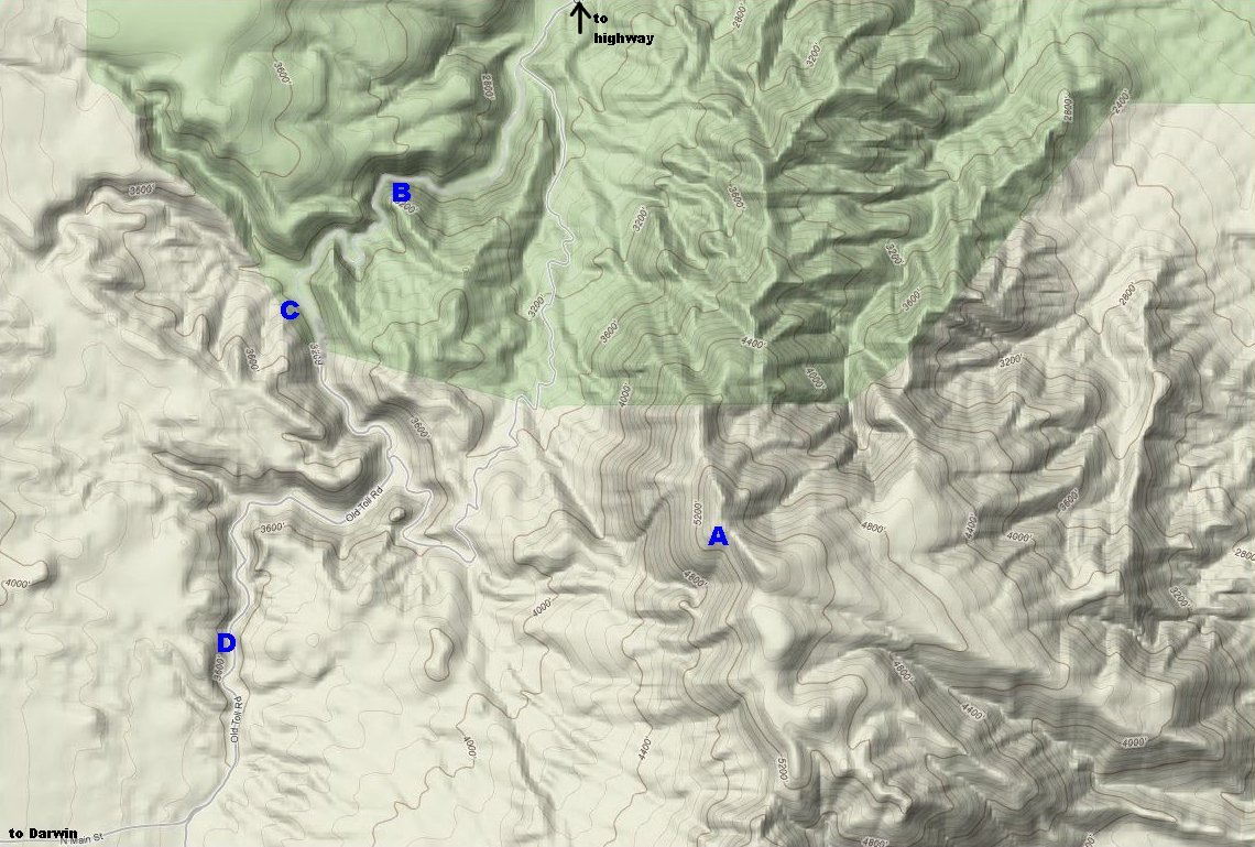
The main sites of interest in this area are:
|
The main access route to this area is a dirt road that enters the area from
the north starting from the highway just a few miles west of Panamint
Springs. It is also possible to enter the area from a much longer dirt route
from the town of Darwin.
(continued below) |

Darwin Falls can be reached from the top or the bottom of the canyon. It is possible to drive to China Garden and then hike down the canyon to the falls. Most people hike up to the falls from the parking area at the bottom of the canyon.
To hike up Zinc Hill find a draw about a quarter of a mile up from the ore loader on the dirt road between the lower falls parking area and China Garden. Hike a half mile up the draw and take the second road going off to the left. Hike another half mile up this road to an old mine trail on the right. The miner trail is not clearly marked and it's a bit hard to spot, but if you make it to the mine ruins at the end of the road, you have gone too far by about a hundred yards or so. The miner trail is faint in some places, but it'll get you to a saddle just below the peak. (Another route up Zinc Hill that may be worth trying is to hike up the canyon just north of the cabin in Osborne Canyon and then follow the ridge to the peak.)